Back River Bike Park Roadmap
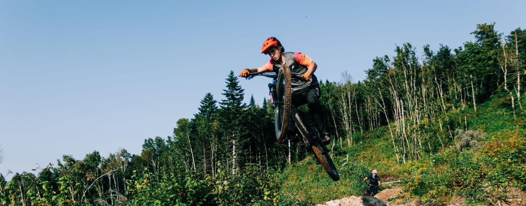
Photos by Curtis Kelly
Foreword
In 2022, when Will and I purchased the land that is now set to become the future home of the Back River Bike Park, it was the end of a search that we had casually conducted over the course of almost three years. In fact, for multiple reasons, we had almost stopped looking all together; We’d previously viewed several parcels that either didn’t suit the terrain that we wanted, weren’t in the right location, or that the price was not attractive/within our budget - especially with the spike in the land prices during the COVID market surge. We were looking for something with easy access, good elevation for progressive and technical trails, and not too far from a municipal population to support us on our endeavour.
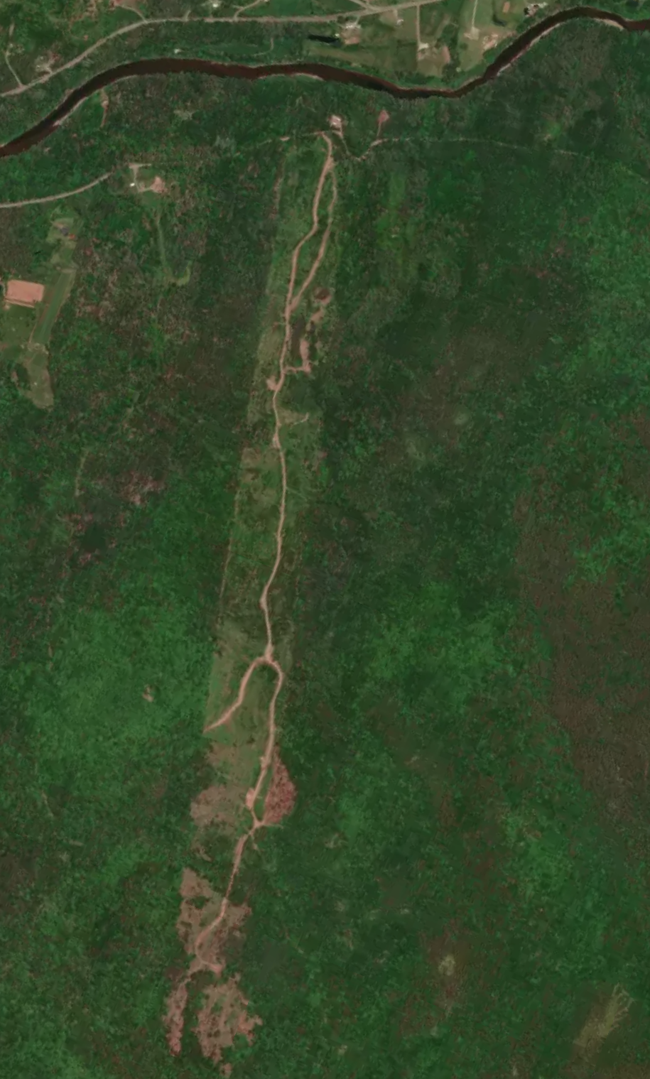
It was entirely by chance, then, that I happened to be browsing a site of land listings, and saw two adjacent plots of land for sale in Barnesville, with a combined 279 acres and 290m of peak elevation.
A day later, Will and I - along with our Mother, who fancied a hike - went to inspect the land in person, and see if it was as good as it appeared to be, on paper. After just 30 minutes, and a short hike up the access road, we knew it was exactly what we were after. Within a week, we called the agent and made an offer, which was quickly accepted.
That was in 2022. Now, in 2025, we’re working toward several goals and objectives that we have to achieve in order to open the trails for public access. Throughout the life of this blog, we will expand upon this story with the appropriate detail and eloquence that it deserves, but for now we need to set our course in a clear and easy to follow format for the benefit of you, as well as ourselves. Below is the roadmap that we will follow while building the Back River Bike Park, so that we can share this absolutely epic place with all of you in due time!
Phase 1: Planning and Preparation (2022–2023) ✅ Completed
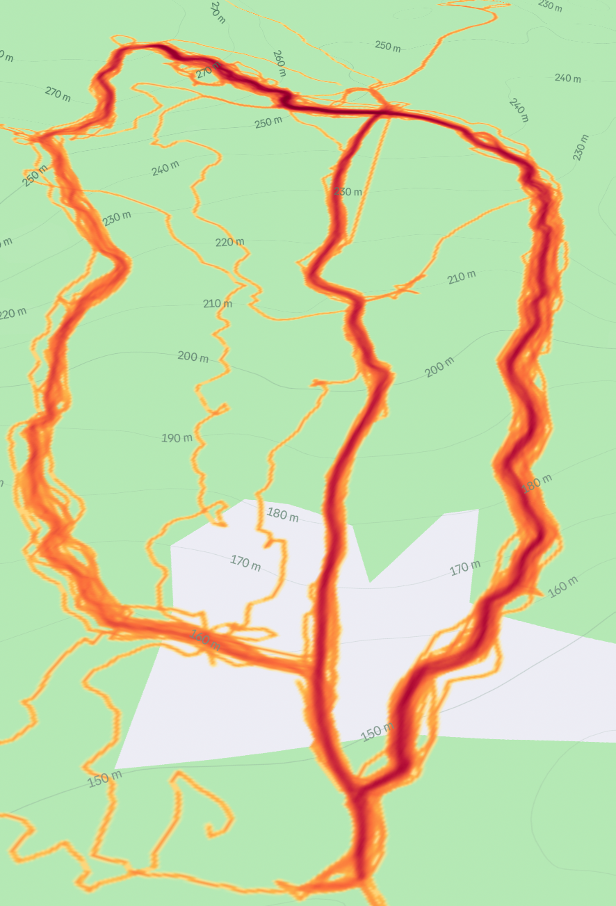
Scouting, surveying, and gathering GPS data to properly design and map the initial trail network blueprint.
- Inspected property lines and access roads
- Assessed water streams, runoff areas, and saturated ground
- Scouted fall lines and hardwood sections for potential trails
- Inspected previously logged blocks and noted machinery damage to address in future
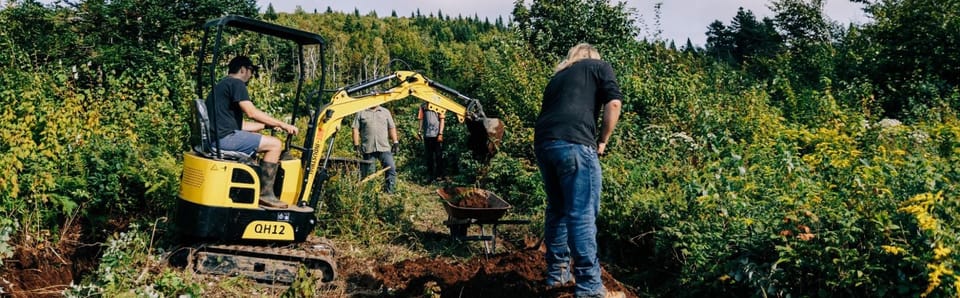
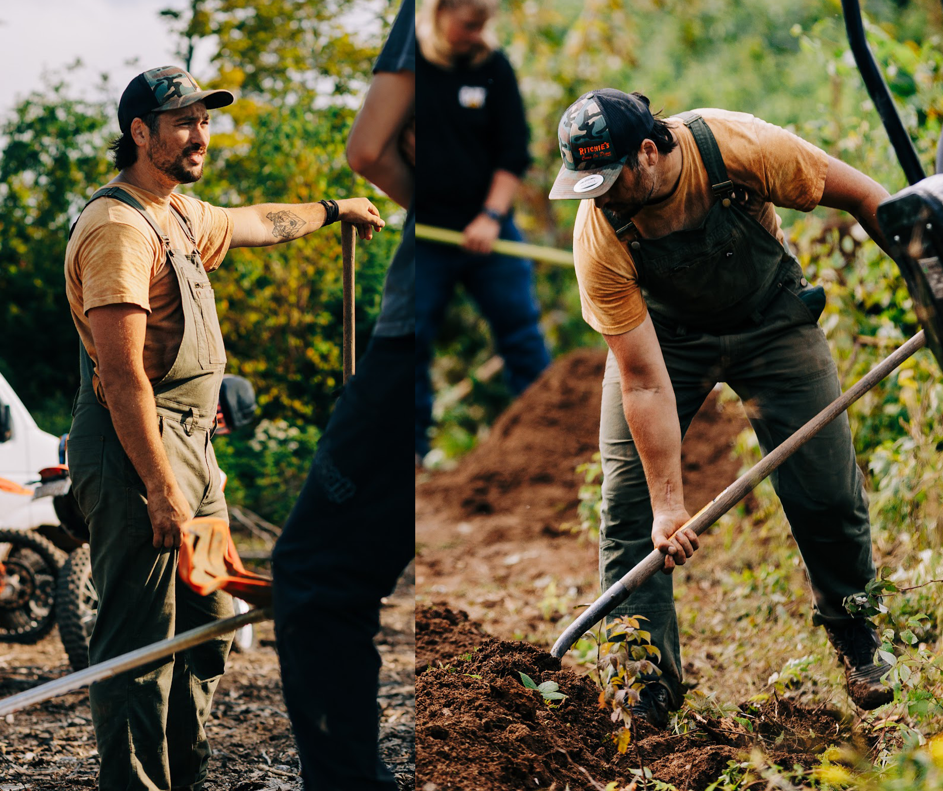
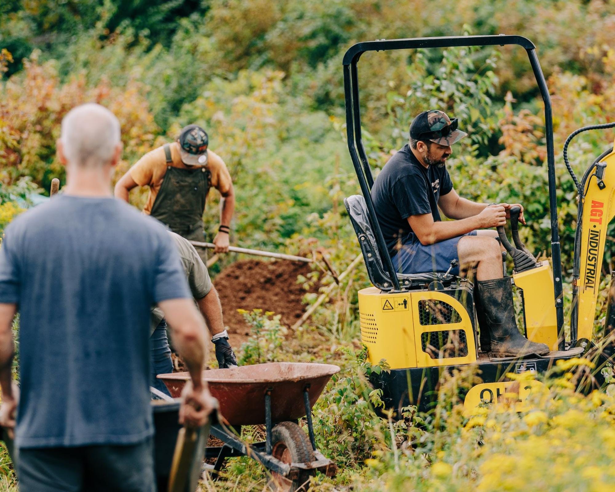
Phase 2: Breaking Ground (2023–2024) ✅ Completed
Started building the first trail to learn the flow of the land and better understand the soil and terrain.
- Mapped and designed the first descending trail
- Addressed water runoff and safety hazards
- Planned trailhead and runout with future trail integration in mind
- Began planning and building a second descent
Phase 3: Improving Accessibility and Roadway (2025–2026)
- Map, plan, and build a climbing trail to access the trailhead
- Acquire funding to fully repair the access road and manage water runoff
- Extend the access road to the planned trailhead
- Connect both existing descending trails to the trailhead
- Fully buff and finish the first descent
Phase 4: Further Trail Development and Initial Infrastructure (2026–2027)
- Clear and surface a parking lot with capacity for projected trail users
- Develop plans for a washroom and lodge for first aid and enhanced user experience
- Continue trail development, including a third, feature-rich trail to broaden appeal
- Further develop the trail network map and prepare for a soft launch